


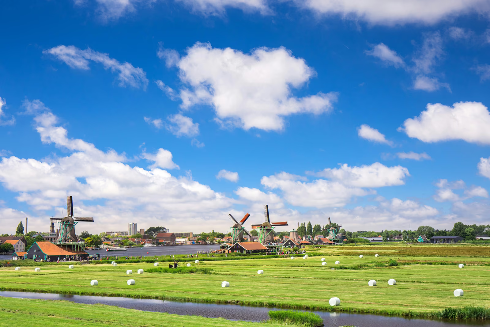
Utrecht, the Netherlands
.svg)
This case innovation has been analysed using the Transformative Intervention Mixes (TIMs) framework. The framework maps the regulatory, economic, social‑behavioural, technological and material interventions at play, clarifying how these elements interact and what this configuration suggests about the innovation’s capacity to support transformative change.
The case analysis draws primarily on evidence synthesised from:
Nel et al. (2026) and Salverda et al. (2025)
Overview
Green-blue Veining
Meet je Landschap (Measure your Landscape) monitoring of Green-blue Veining, Province of Utrecht, the Netherlands
Landscape and biodiversity monitoring; agricultural landscapes; citizen science and regional policy support
A citizen science monitoring network coordinated since 2013 by Landschap Erfgoed Utrecht (LEU), an organisation dedicated to landscape and cultural heritage, that combines volunteer field data collection with a digital dashboard to map and track the quantity and quality of small landscape elements and blue-veining features, supporting provincial and water-board implementation of green-blue veining ambitions.
Province-wide dataset for Utrecht completed by end of 2024; network of about 65 volunteers with sub-area coverage; used by policymakers, ecologists, citizens and farmers.
Practical: Volunteers collect field data using tablets and apps, feeding a dashboard that supports planning of restoration and reinforcement of landscape elements.
Political: Data and collaboration structures support provincial and water-board policy development and coordination, including a regional platform for knowledge exchange.
Personal: Volunteer motivation is reinforced by recognition, meaningful outdoor work and seeing results through visualisations. Also, farmer motivation is reinforced by concrete visualisation of the existing or missing green-blue veining on their property, and by financial support of restoring landscape elements (new revenue model).
High: Combining qualitative fieldwork data with nationally promoted quantitative LASREG data and strengthening volunteer engagement and platform capacity are identified as next steps.
TIMs Summary
The case evidences strong technology, knowledge and voluntary–advisory–educational tools, combining volunteer field monitoring with digital data infrastructure and visualisation to make landscape outcomes visible and actionable. Financial/ market-based mechanisms are evidenced through structural and flexible provincial funding for the coordinator organisation, and through subsidy applications related to the restoration of landscape elements by farmers, and the development of nature-friendly foreshores in specific locations. Political and institutional dynamics are also strongly evidenced through provincial and water-board involvement, platform-building and interaction with national policy programmes. Choice architecture and social norms appear as supportive rather than primary tools, mainly through volunteer-network organisation and making results visible to motivate continued participation.
This configuration implies a data-driven and collaborative transformative pathway, where monitoring and visualisation create feedback loops for policy and practice. Implementation is constrained by reliance on key individuals and limited capacity within the province to fully use the platform’s potential.
Implications for Intervention Mix Design
Enhancing transformative scope would require alignment with additional tool categories not currently prominent, particularly more robust institutional arrangements to reduce dependence on key figures and to stabilise coordination as policy contexts shift. Also, clearer integration pathways between monitoring data and decision-making processes would need strengthening to translate insights into sustained landscape change.
TIMs Matrix
| Tool Category | Examples | How it ENABLES (mechanisms) | How it HINDERS (barriers) | Opportunities to strengthen | Risks / caveats | Additional suggestions and resources |
|---|---|---|---|---|---|---|
| Regulatory | National green-blue veining ambition of 10% embedded in NPLG - National Programme for Rural Areas (later discontinued); provincial policy goal of 10% green-blue veining remains; policy insistence on strict definitions of green-blue veining. | Regulatory landscape provides policy horizon, direction and obligations that stimulate monitoring needs and coordination for implementation. | Abrupt loss of national goals and funding reduced support; rigid definitions are experienced as discouraging participation by some stakeholders. | Use emerging policy hooks (e.g., National Nature Plan under Nature Restoration Regulation) as new starting points for continued implementation. | Policy volatility can disrupt long-term monitoring and engagement. | Nature Restoration Regulation implementation planning; regional landscape programmes; integration of green-blue infrastructure indicators in spatial planning |
| Financial / Market-Based | Structural and flexible provincial operating subsidy for Landschap Erfgoed Utrecht; farmer subsidy applications for restoration of landscape elements by farmers, nature-friendly foreshores in specific locations. | Provides stable foundation for volunteer coordination and data infrastructure; enables implementation measures by farmers through subsidised investments. | Dependence on public funding and policy programmes creates vulnerability when national support changes. | Secure sustainable funding and align subsidy allocation with monitoring data to target landscape gaps. | Competition and tension over data ownership and subsidy management can hinder alignment. | Agri-environment subsidy targeting; stewardship funding models. Multi-Year Volunteer Coordination Fund – stable funding for citizen science coordination, data systems and volunteer appreciation, reducing dependence on shifting programmes and key individuals. Monitoring-Linked Landscape Restoration Grants – targeted subsidies for restoring mapped gaps in green-blue elements, directly guided by Meet je Landschap data. Platform Capacity Support – operational resources for the GBDA (green-blue veining) platform to strengthen collaboration, knowledge exchange and joint communication among regional actors. |
| Information / Education | Dashboards with green-blue veining analyses based on monitoring results; information evenings for farmers on GBDA green-blue veining (GBDA) possibilities; volunteers sharing methods at national information evening; communication about results via barbecues and celebrations. | Makes monitoring outcomes visible and gives insights in the restoration that is needed; builds understanding and buy-in among farmers and volunteers. | Need for better communication towards society noted as ongoing challenge; limited capacity constrains sustained outreach. | Develop joint communication strategy via the GBDA platform to recruit volunteers, involve farmers and secure funding. | Uneven communication can contribute to perceptions of favouritism and volunteer dropout. | Public biodiversity communication campaigns; farmer engagement programmes |
| Choice Architecture | Dashboard visualisations linking data to action perspectives | Dashboard structures monitoring cycles and presents data in actionable formats, supporting prioritisation of ‘low-hanging fruit’ areas for restoration. | If tools are not user-friendly or integrated, fieldwork can halt (e.g., server outage stopping tablet use). | Improve user-friendliness by consolidating data entry into a single app and expanding visualisations that link to concrete action perspectives. | Overly rigid workflows can frustrate volunteers and reduce continuity of monitoring. | User-centred citizen science platform redesign; adaptive monitoring schedules. |
| Social Norms | Volunteer network norms reinforced through recognition and celebrating milestones; annual barbecues with volunteers and farmers. | Volunteer network normalises participation and sustains commitment through shared identity and appreciation. | Perceived favouritism between volunteers contributed to dropout and network tension. | Develop sub-networks led by volunteers and quick communication channels (e.g., WhatsApp groups). | Network fragmentation can reduce coverage and data consistency. | Volunteer network governance models; peer-led coordination; snowball effect of motivation and enthusiasm of pioneer farmers. |
| Emotional Appeal | Motivation from being recognised by institutions; inspiration from seeing concrete results through visualisations. | Recognition and visible impact strengthen volunteer persistence and engagement; concrete visualisations motivate farmers to join and cooperate (pride). | Loss of (national) support can reduce collective optimism and momentum. | Motivational dependence on feedback loops may weaken if results are delayed or unclear. | Recognition-based volunteer and farmer retention strategies. | |
| Technology | Tablets with software for field data entry; Dashboard Monitoring Network for Small Landscape Elements; use of Bioblitz and Naturalis tools and validation of LASREG (Remote-sensing-based landscape monitoring tool) remote sensing dataset with fieldwork. | Enables province-wide data collection and visualisation combining qualitative and quantitative information; supports policy use and planning. | Technical failures (server outage) can halt fieldwork; LASREG described as purely quantitative and missing elements. | Explore integration of LASREG quantitative data with Meet je Landschap qualitative dataset as planned. | Model and data gaps may produce misleading baselines if not triangulated. | Remote sensing monitoring systems; biodiversity data dashboards. |
| Infrastructure (Hard/Soft) | Platform for collaboration between stakeholders (GBDA platform); volunteers acting as intermediaries with landowners; division of tasks among province, LEU, water board and municipalities | Creates organisational infrastructure for coordination, knowledge exchange and implementation support. | Reliance on a few key figures and limited provincial capacity make the system vulnerable. | Use the platform more effectively to foster concrete collaborations, as identified. | If key individuals step away, continuity may be threatened. | Regional biodiversity platforms; partnership governance structures; Setting up sub-networks led by volunteers, with quick and easy communication via e.g. WhatsApp groups (new organisational model). |
| Biophysical Resources | Monitoring and planning for hedgerows, tree lines, ponds, ditches and nature-friendly foreshores in farm ditches | Supports restoration and reinforcement of landscape elements that provide habitat and connectivity. | External threats such as invasive alien species in ditches can undermine biodiversity outcomes. | If invasive species are not managed, ecological gains may be reduced. | Invasive species management; habitat restoration programmes | |
| Knowledge | Data analyses identifying landscape gaps and action perspectives; learning history synthesis and validation workshop; Three Horizons visioning workshop. | Participatory analysis identifies knowledge gaps and supports evidence-informed tailoring and policy development; translates monitoring into actionable insights. | Quantitative-only approaches may miss qualitative condition information; competition and data ownership tensions can limit sharing. | Expand data accessibility and visualisations to strengthen the connection between data and action perspectives. | Misalignment between data holders and subsidy managers can reduce effectiveness. | Knowledge agenda processes; open data governance |
| Other |
Note: Blank cells reflect that the documentary evidence available for this case did not contain sufficiently explicit information to address these dimensions. This absence should not be interpreted as implying that such mechanisms were irrelevant or ineffective, but simply that they were not documented within the scope of the source materials.