


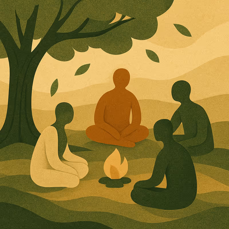


Recruiting Participants
The attendees of the participatory mapping process can vary depending on the context and purpose. In the PLANET4B project, the participatory mapping workshop was held with a closed group, the Graz (Austria) Learning Community which was made up of women with diverse ages and experiences. In other settings, workshops may be open to anyone with a connection to the mapping focus, such as residents, community organisations, businesses, local authorities, school groups, faith groups etc.. In such situations, including a broad and diverse range of voices is essential for making the mapping process inclusive, relevant, and impactful. Before embarking on a Community Mapping project, facilitators should reflect on the following:
- Communication and Purpose
Before beginning, carefully consider the realistic outcomes of a Community Mapping exercise. Do you have access of rights to the space being mapped? Is there a specific planning regulation you want to target? If the map can be routed to a practical task it will have a clearer purpose. Clear communication about the purpose, potential impact, and limitations of the project is essential to sustaining ethical, respectful, and effective collaboration. Transparency in realistic influence and outcomes of the method builds trust and helps to prevent disillusionment later in the process. - Checklist
Do you have the skills, resources and time to dedicate to this method – if not it might be worth considering a different method instead. Alternatively, if resources allow, consider partnering with a trained Participatory Mapping facilitator when running the method for the first time.
Recruiting Participants:
- Be present - Hold the mapping method in a location that people already visit and that relates to the project. For example, if the mapping relates to the future of a local park, promote the event with posters placed around the park and host the workshop there.
- Show Appreciation – If budget allows, cover participant expenses and offer refreshments. If permitted within your project’s ethical framework, offer financial payments or token in-kind gifts to participants by way of acknowledgement of their voluntary time and expertise contribution. Where direct payments are not feasible, offer alternative forms of recognition, such as free access to training, workshops, or events.
- Be part of a community - Explore opportunities to work with existing groups or networks. Engaging with an established community can increase trust, support continuity, and enhance the long-term impact of the process.
- Make it accessible - Provide support for different language needs, addressing digital literacy and access barriers, and offering technical assistance where needed. Provide childcare or family-friendly workshop options.
- Be creative - Use proactive and imaginative strategies to reach potential participants. This might include creating visually engaging, map-based posters, and social media campaigns.
In this video Sandra Karner explains explains what participants can gain from being part of a Community Mapping projects:
.svg)

Roles and Responsibilities
The Role of Facilitators:
If you are facilitating the mapping ‘in house’ consider how the following are going to be covered; if this is something you are going to be contracting –in, then make sure the facilitator has the following skills:
- Creating an inclusive space: As mapping is a collective process, facilitators must ensure everyone can contribute and that differences are negotiated fairly. This involves setting clear ground rules, being alert to group dynamics, and using tools to manage conflict and support dialogue.
- Providing logistical and practical support: Facilitators are responsible for organising the practical aspects of the workshop: securing accessible venues, preparing materials (such as printed or hand-drawn maps, icons, and visual tools), and coordinating scheduling, refreshments, and transport if required.
- Sustaining engagement and supporting momentum: Mapping workshops are often just one part of a longer process of community engagement. Clarify what follow-up actions are planned, how participants will remain involved.
- Questioning and encouraging reflexivity: Facilitators can support participants in going beyond describing space and begin to interrogate the deeper social, political, and ecological dynamics at play. This means asking open-ended, reflective, and potentially justice-oriented questions, such as: Who decides what goes where? Whose history is visible or erased? What does biodiversity mean in this place? Through these questions participants link everyday experience to broader systems and possibilities for change.
The Role of the Participants:
- Knowledge holders: Participants bring grounded knowledge of local environments, histories, and socioecological relationships. Their insights often reveal ecological, cultural, or social dimensions of place.
- Planners: Participants help imagine alternative futures. Through mapping, they articulate shared values, develop place-based visions, and explore possibilities for collective action and transformation.
- Advocates: Through the mapping process, participants may become enabled and inspired to continue to make change. They can use maps to assert rights, challenge dominant narratives, and influence decisions, particularly in contexts of land dispossession, environmental harm, or contested governance.
Using Community Mapping as a Researcher
Community Mapping can provide a researcher with insight into how people understand, value, and contest the spaces they inhabit. Through this method it is possible to explore themes such as how local knowledge intersects with biodiversity, governance, and social relations.
Define research objectives
Start by clarifying what the mapping activity is intended to investigate. For example:
- How do participants perceive and value their local environments in relation to biodiversity?
- What spatial practices or conflicts shape everyday interactions with land, water, and non-human species?
- How does community knowledge challenge or complement official accounts of land use, planning, and conservation?
Data generation
- Community Mapping can produce a wide range of data, including annotated maps, sketches, digital GIS layers, photographs, and transcripts of group discussions.
- Supplementary materials such as fieldnotes or participant reflections can add depth and enable triangulation across sources.
- Managing this variety requires clear strategies, such as creating catalogues of maps and digital files, storing data in accessible but secure formats, and keeping detailed metadata about participants, locations, and sessions.
- Having clear data protocols protects the integrity of the material and makes it easier to revisit, share, and analyse the maps collaboratively with participants.
Ethics and consent
- Sensitive or contested spaces may be represented, raising issues of access, heritage, or ecological vulnerability.
- Consent procedures should clarify how maps and associated materials will be stored, shared, and used.
- Participants should be able to remain anonymous or restrict circulation of outputs.
- Researchers should anticipate unintended consequences of creating maps, for example exposure of fragile or politically sensitive areas.
- Be transparent about how findings will be published, including whether maps or images will appear in academic outputs, reports, or public exhibitions, and ensure participants agree to these uses.
Positionality
- Choices about which tools are used, what prompts are given, and whose voices are foregrounded reflect underlying assumptions and values.
- Reflexive practice requires acknowledging how personal, institutional, or cultural positioning shapes both the process and the outcomes of mapping.
- Researchers should consider how their presence, affiliations, and facilitation style affect participation, knowledge exchange, and interpretation.
Theoretical framing
- Community Mapping can be understood within critical traditions that view maps as socially produced rather than neutral representations of space.
- The method is closely connected to debates in critical cartography, participatory action research, and feminist and decolonial scholarship, each of which emphasises the situated and contested nature of knowledge.
- The methods draws attention to how community perspectives and experiences can disrupt dominant narratives of land use, planning, and biodiversity governance.
- Mapping operates both as an empirical practice that generates data and as a political act that shapes which forms of knowledge are recognised and mobilised in decision making.
Analytical strategies
- Community Mapping data can be approached inductively by coding maps and narratives to identify themes that emerge from participants, or deductively by situating local knowledge against planning frameworks, policy discourses, or conservation agendas.
- Thematic, narrative, and discourse analysis can each provide insights into how participants describe space, negotiate meanings, and frame biodiversity, highlighting both spoken accounts and the use of metaphor, silence, or omission.
- Visual analysis can treat the maps themselves as data, examining drawings, symbols, and spatial arrangements to understand how participants represent values, priorities, or contested areas.
- Comparative and longitudinal analysis can reveal divergences between communities or track shifts in understanding across time, offering insight into how perspectives evolve in response to interventions or wider social change.
- Triangulation and validation strategies, such as combining maps with interviews, field observations, or document analysis, and inviting participants to review interpretations, can enhance credibility and deepen understanding.

