


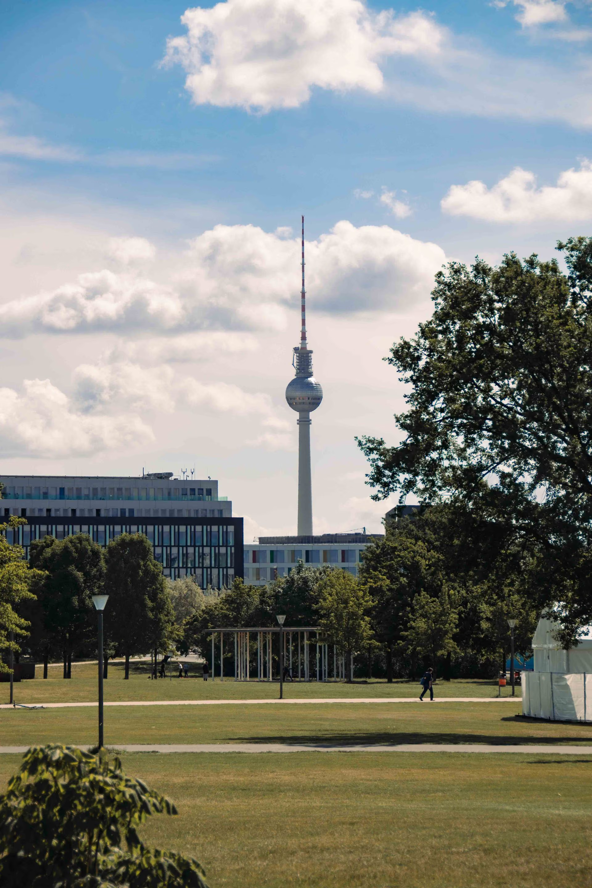
Green Belt Berlin
.svg)
This case innovation has been analysed using the Transformative Intervention Mixes (TIMs) framework. The framework maps the regulatory, economic, social‑behavioural, technological and material interventions at play, clarifying how these elements interact and what this configuration suggests about the innovation’s capacity to support transformative change.
The case analysis draws primarily on evidence synthesised from:
Kowarik (2019)
Overview
Urban Greenways
Green Belt Berlin
Urban planning and green infrastructure; biodiversity conservation in cities; cultural heritage and memorial landscapes
The Green Belt Berlin (GBB) is a greenway along the former Berlin Wall border zone, integrating a set of core park and memorial areas with spatial linkages to connect urban and peri-urban landscapes. The case documents how a formerly restricted border landscape was transformed into multifunctional green infrastructure that incorporates wild urban vegetation, biodiversity conservation objectives and decentralised memorialisation.
City-scale corridor of about 164 ha stretching roughly 13 km from central Berlin to the rural landscape of Naturpark Barnim, comprising several core areas and linkages.
Practical: conversion and design of border sites into parks and linkages integrating existing vegetation mosaics and habitat features.
Political: governance through Berlin’s Landscape Program (legal planning instrument aligned with the German Nature Conservation Act and binding on public authorities) guiding open space conservation and development.
Personal: memorial landscape elements and information programme (panels, historical photographs, commemoration sites) shaping meaning, identity and public engagement with place.
High: planning and design principles (legal guidance plus adaptive integration of wild urban vegetation and heritage interpretation) are transferable to other urban corridors, subject to local governance and land tenure conditions.
TIMs Summary
The case is strongly evidenced in the source material for regulatory, infrastructure (hard/soft) and knowledge tools: Berlin’s Landscape Program is described as the key legal planning instrument guiding conservation and development of open spaces, and it must be followed by public authorities at all planning levels. Practical interventions integrate biophysical resources by incorporating naturally colonised ‘wild’ vegetation mosaics into park designs and by using restoration-ecology approaches in some areas.
Information and emotional appeal mechanisms are evidenced through an information programme with panels and historical photographs and through memorialisation of Wall victims embedded in the greenway’s spatial components. Market-based tools are not described in the source material, and choice architecture and social norms are not articulated as distinct intervention mechanisms.
Overall, the configuration indicates an institutional–material pathway in which binding planning instruments enable long-term green infrastructure development, while heritage interpretation supports public meaning-making. Legal integration across planning levels is presented as central to sustaining the corridor’s objectives.
Implications for Intervention Mix Design
The source material suggests that the intervention relies on a strong planning mandate and design integration but does not describe dedicated financing or incentive instruments that often underpin long-term maintenance. To enhance transformative scope, additional alignment would be required with financial mechanisms for upkeep and with explicit equity and participation tools to ensure benefits are broadly shared. Where public engagement is a priority, complementary social-norm and education tools could be added to connect the memorial and biodiversity elements to ongoing community stewardship.
TIMs Matrix
| Tool Category | Examples | How it ENABLES (mechanisms) | How it HINDERS (barriers) | Opportunities to strengthen | Risks / caveats | Additional suggestions and resources |
|---|---|---|---|---|---|---|
| Regulatory | Berlin ‘Landscape Program including Species Protection Program’ as key planning instrument; described as a legal instrument aligned with the German Nature Conservation Act and binding on all public authorities at all planning levels. | The regulatory landscape creates an enforceable planning framework that guides open space conservation and development, enabling implementation of the Green Belt Berlin (GBB) in line with city-wide ecological principles and site-specific recommendations. | If political priorities shift, implementation could be delayed in conceptual-stage areas, affecting corridor continuity. | Municipal biodiversity strategies and protected monument designations supporting heritage elements. | ||
| Financial / Market-Based | ||||||
| Information / Education | Information programme with panels and historical photographs explaining former border elements and extent; interpretive features across sites. | The information provision supports public understanding of historical and ecological dimensions, shaping engagement with the corridor as both memorial and green infrastructure. | Information framing may prioritise heritage narratives over ecological learning if not balanced. | School and community programmes linked to memorial and biodiversity education. | ||
| Choice Architecture | ||||||
| Social Norms | ||||||
| Emotional Appeal | Decentralised memorial landscape including commemoration of Wall victims and reconstructed Wall section at the Berlin Wall Memorial; preservation and integration of Wall remnants. | The initiative evokes remembrance and place attachment, reinforcing public support and meaning-making alongside ecological functions. | Potential tensions between memorial uses and recreational or ecological management objectives in specific sites. | Deliberative engagement processes to manage trade-offs among uses. | ||
| Technology | ||||||
| Infrastructure (Hard/Soft) | Greenway corridor comprising core areas and linkages; parks (e.g., Park auf dem Nordbahnhof, Mauerpark) and conceptual-stage areas (e.g., Nasses Dreieck, Güterbahnhof Schönholz) connected to peri-urban landscapes. | The infrastructure provides spatial connectivity and multifunctional open space that can support biodiversity, recreation and heritage functions across the city. | Some components remain conceptual in the source material, indicating potential gaps in corridor completion and continuity. | Fragmentation if linkages are not completed could reduce ecological connectivity and user experience. | City-wide green infrastructure networks and habitat corridors (not documented in the named sources). | |
| Biophysical Resources | Natural colonisation after Wall fall produced novel urban ecosystems; vegetation mosaics include ruderal tall-herb communities, dry grasslands and tree stands; habitats support species of conservation concern (e.g., sand lizard). | The initiative maintains and enhances urban biodiversity by integrating ‘wild’ vegetation and habitat mosaics within designed greenway spaces. | Explicitly described: restoration-ecology approaches used in Park auf dem Nordbahnhof to enhance ruderal diversity via re-introduction from regional seed sources. | Invasive or alien species (e.g., Robinia pseudoacacia dominance in some areas) may create management challenges for biodiversity objectives. | Invasive species management and adaptive maintenance regimes. | |
| Knowledge | Landscape Program grounded in accurate ecological data and baseline investigations with comprehensive inventories; documentation of species richness and Red List species in border areas. | Ecological data and monitoring via the Landscape Program provides evidence base for planning and site design, supporting informed integration of ecology, restoration and urban development objectives. | If ecological monitoring is not sustained, management may not respond to vegetation succession and changing habitat conditions. | Long-term ecological monitoring frameworks. | ||
| Other |
Note: Blank cells reflect that the documentary evidence available for this case did not contain sufficiently explicit information to address these dimensions. This absence should not be interpreted as implying that such mechanisms were irrelevant or ineffective, but simply that they were not documented within the scope of the source materials.
References
Kowarik, I. (2019). The ‘Green Belt Berlin’: Establishing a greenway where the Berlin Wall once stood by integrating ecological, social and cultural approaches. Landscape and Urban Planning, 184, 12-22. https://doi.org/10.1016/j.landurbplan.2018.12.008